Following on from Explore the Eden , students can explore the Topography of the Eden Catchment, completing tasks and questions that will help them become familiar with using simple online GIS mapping tools to query map-based data and investigate the geography of an area.

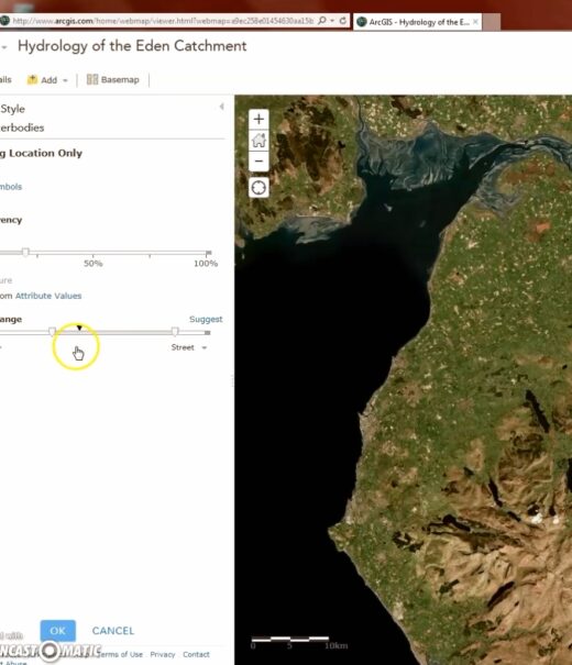
Hydrology of the Eden
Create your own map