Your Eden
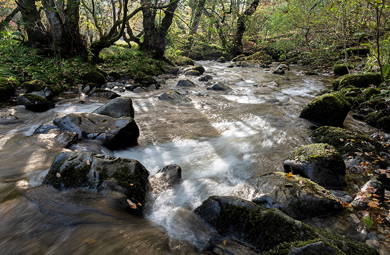
Nestled between the Lake District and the Pennines, the Eden catchment covers an area of approximately 2,400 km2. At 80 miles long, the River Eden is one of England’s finest examples of a limestone and sandstone river. Its tributaries include the Eamont, Petterill, Caldew and the Irthing. As well as rivers, there are two lakes, Haweswater and Ullswater.
Unlike most of England’s major rivers, the Eden flows northwards; from its source in the fells above Hell Gill Force, near Kirkby Stephen, out to sea via the Solway Firth.
The Eden river guide
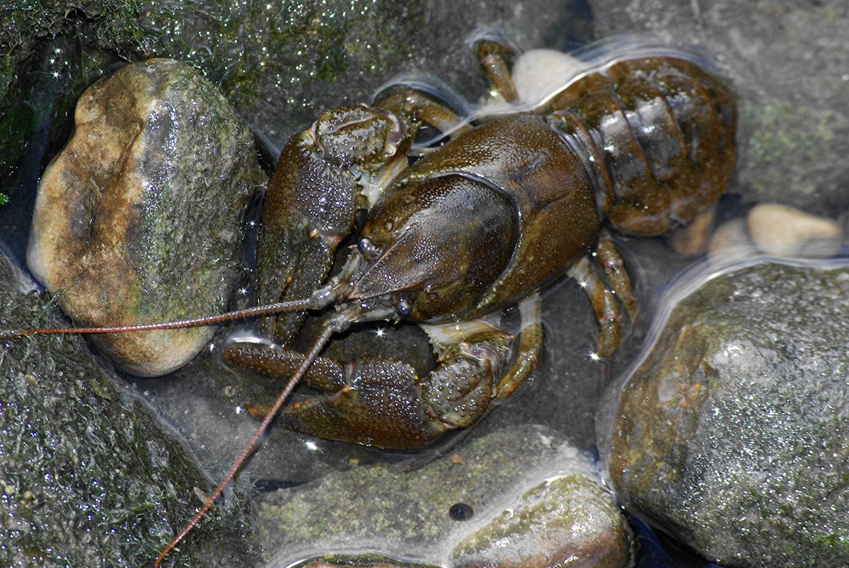
The place to go to find fascinating facts about Eden’s wildlife, river and landscape features. The guide contains an introduction to some of Eden’s iconic species, as well as the unwelcome invaders that threaten them.
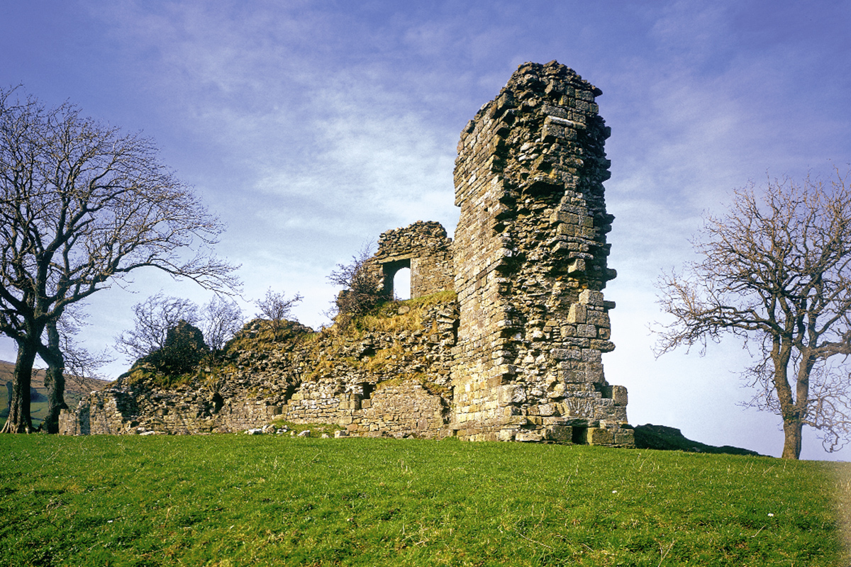
Discover the natural and man-made river and landscape features found in the Eden catchment, how they help or hinder the river system, and what you can do to help improve and protect Eden’s rivers for people and wildlife.
Making Eden’s rivers better places for people and wildlife
The Eden Catchment Partnership brings together local government, government agencies, environmental organisations, community groups and businesses to target their activities to places that will have the greatest benefit for both Eden’s environment and people, and work together to make the most of available resources. You can learn more about the pressures facing our rivers and landscape and how the partnership plans to work together to address them in the Eden Catchment Plan.