Skip To Content
Logo
In a valley bottom there is a river with large meanders (bends) that sweep across the landscape. In the background there is a small forest stretching from the valley floor to the top of the hill.

Upper Irthing PRISM Landscape Recovery Project

Covering approximately 10,400 hectares across the Cumbria/Northumberland border up to near the border with Scotland (6 miles away), this major partnership project aims to reverse the decline of nature while supporting sustainable agriculture and land use. It will establish a new model for integrated land management focusing on Peatlands, Rivers, Invasives, Species Recovery, and Meadows (PRISM).

Challenge

To build on the good work so far by organisations in northern England to create a mink-free buffer across northern England linking the North Sea with the Irish Sea.

Approach

We are conducting surveys to provide data to inform the long-term nature recovery plan for this area, think innovatively in terms of funding sources and delivery methods, and explore alternative management practices for watercourses and open habitats, providing a test bed for future approaches to land stewardship.

So far ...

Mink rafts deployed for monitoring,

Undertaking riparian Water vole habitat suitability surveys,

Water sampling for eDNA (White-clawed crayfish), and

Volunteer recruitment (ongoing).

Monthly water testing to provide a baseline of river health and assess the effectiveness of interventions and restoration.

Led by Forestry England,  the PRISM project brings together partners, including ourselves, Natural England, the Ministry of Defence, Northumberland Wildlife Trust, and four private landowners. The initiative will build on successful nature recovery programmes and pioneer new techniques for landscape-scale collaboration that can break down barriers between fragmented land ownership while maintaining productive land use.

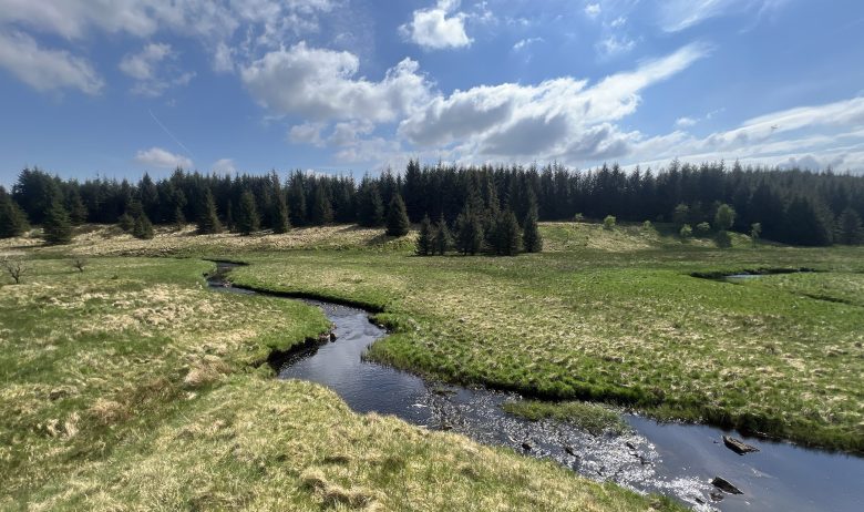
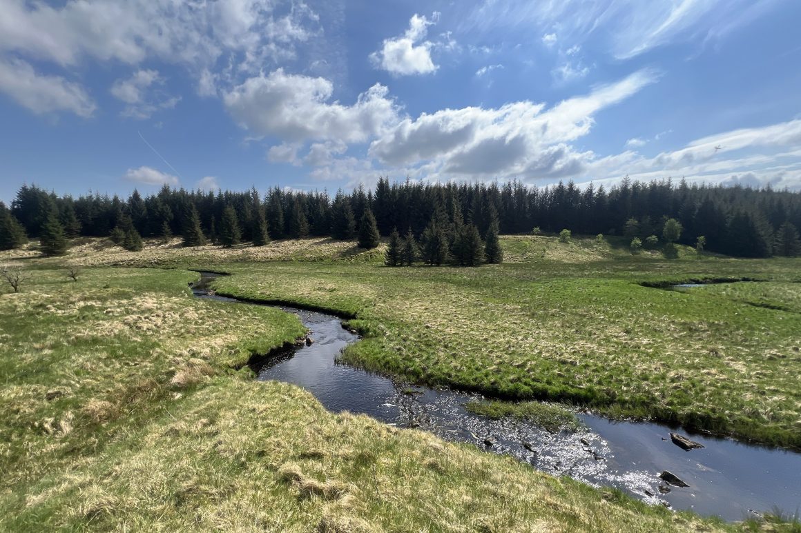
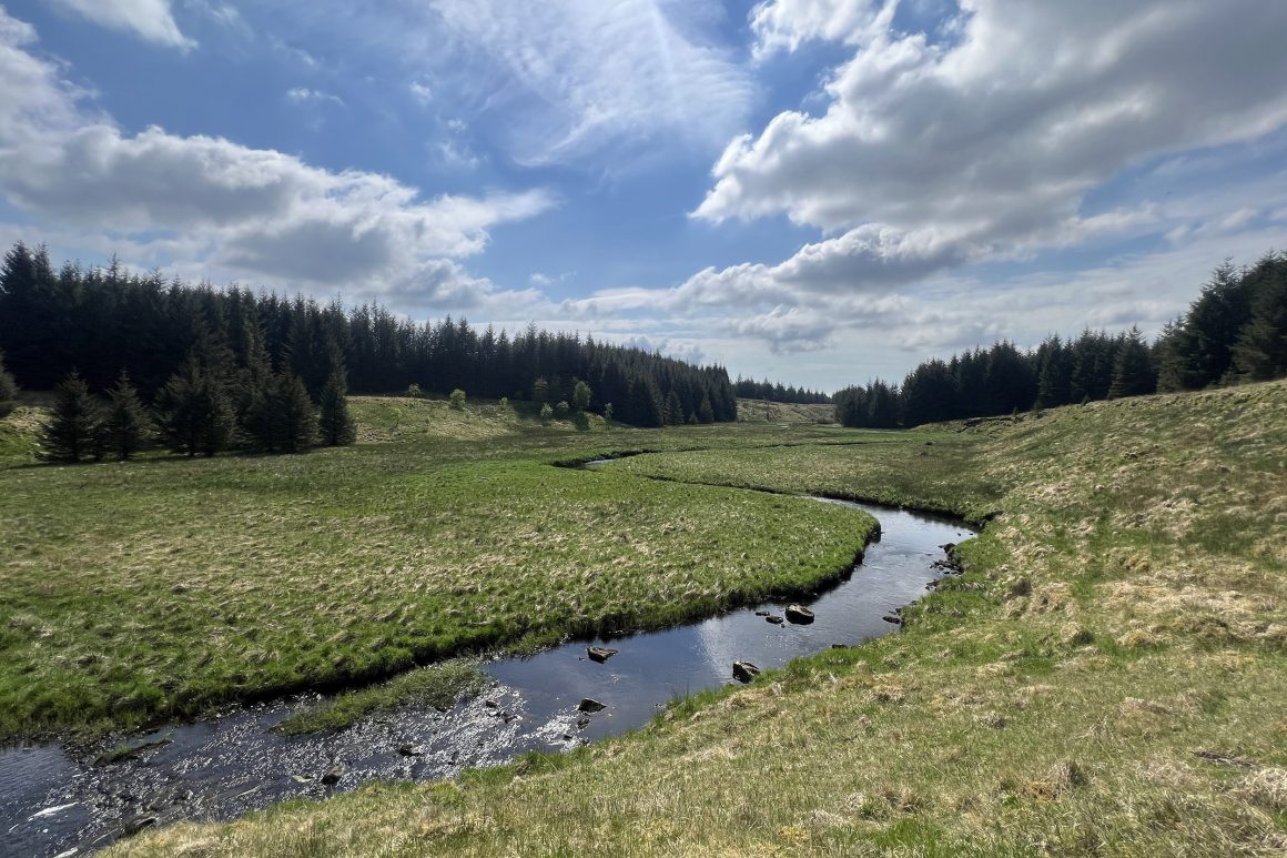
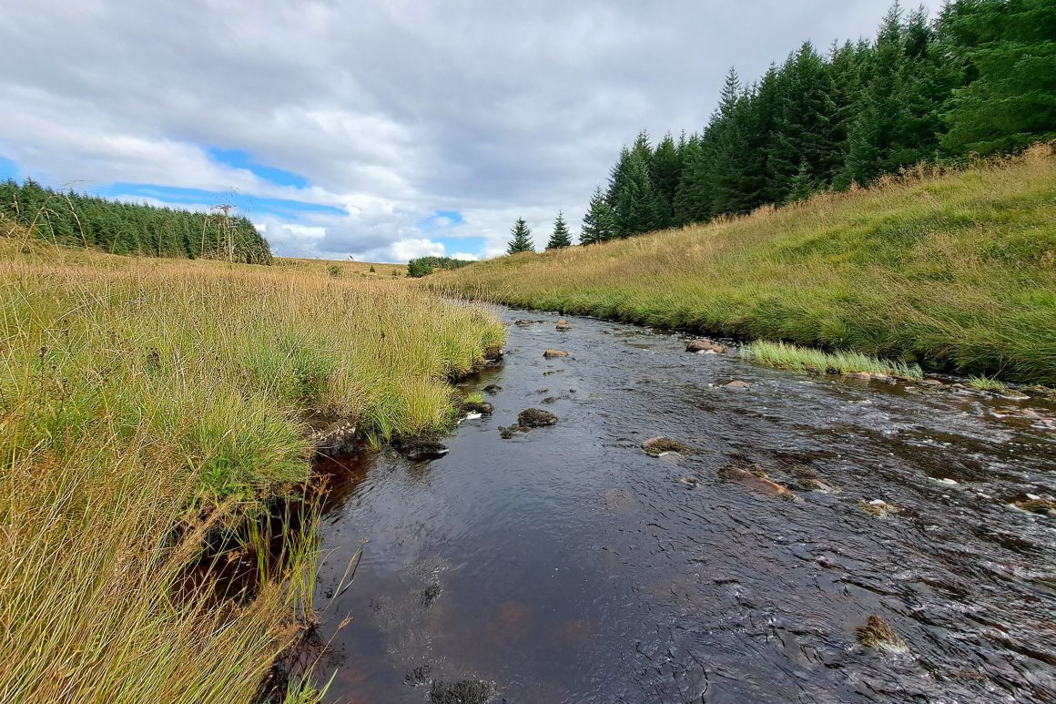
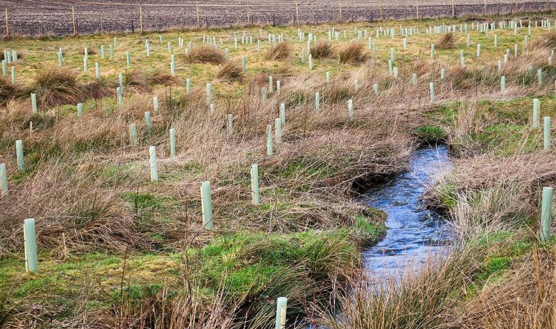
Covering almost all of the catchment, this will be a transformative approach to sustainable land management. By working together with different landowners, we can benefit nature on a much wider, landscape, scale and make good habitat connectivity possible.

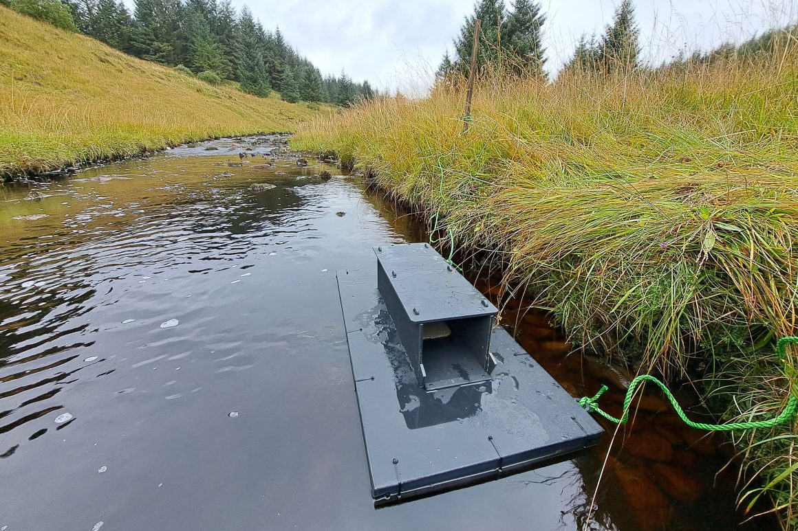
The Upper Irthing PRISM project also focuses on environmental resilience, tackling issues like wildfire prevention, water management, biodiversity, and climate change. While approximately 3,000 hectares of productive forest will remain operational, the project will explore alternative management practices for watercourses and open habitats, providing a test bed for future approaches to land stewardship.

Our role

Over the next two years, the project team, consisting of staff from Forestry England and Eden Rivers Trust will conduct surveys, gather data, and engage stakeholders to create a long-term plan that benefits nature, landowners, and local communities. Central to the project's vision is the management of natural habitats and species, balanced with economic activity that benefits rural communities.

Specifically, we are focused on creating a mink-free buffer so that we can expand our successful Water vole re-introduction programme. Currently, we're carrying out habitat suitability surveys, engaging with stakeholders, and building a network to monitor and control invasive, non-native American mink.

About the area we'll be working in

Gillian, the Project Officer, shares her initial impressions of the area:
The area is so remote that very little is known of the sensitive habitats and species that reside within. It is exciting to think what we will find as the project progresses.

From reading an old book, we have discovered that Water voles used to be quite common and widespread across the project area, well before the plantations existed, but now very little is known about their existence. It is unknown whether there are any voles left within the project area or whether invasive non-native American mink have wiped them out. It does indicate however, that, as the area that used to support the species in abundance, there is great potential for successful future reintroductions.

The area has amazing upland hay meadow remnants, small patches hanging on that are begging for some enhancement/management. The area is also a mecca for cuckoos in the summer. Wildlife seen so far includes Goshawk, Water Shrew, Otter, Osprey, Adder, Common Twayblade and Emperor Moth.

Images from the Irthing catchment

  • In a valley bottom there is a river with large meanders (bends) that sweep across the landscape. In the background there is a small forest stretching from the valley floor to the top of the hill.
  • In a valley bottom there is a river with large meanders (bends) that sweep across the landscape. In the background there is a small forest stretching from the valley floor to the top of the hill.
  • In a valley bottom there is a shallow river that sweep across the landscape. In the foreground there is a Mink raft tethered to the side of the watercourse beneath a grass rich bank.
  • In a valley bottom there is a shallow river that sweep across the landscape. In the background there is a small forest stretching from the valley floor to the top of the hill.

Volunteer with us

If you live near this wild part of the Eden catchment, you could help us collect data to help inform the long-term plan for this area. There are opportunities now to help with biological surveys for Water vole, birds, butterflies and habitats.

Interested? Follow the link below to find out more and register your interest.

Partners and funders

More Projects