Gelt Woods and Greenwell

A walk in the footsteps of border raiders, with ancient woodland, a railway viaduct, a red sandstone gorge, a Roman quarry and a wild magical river.
5 miles
Moderate
52m
3hrs

Walk Information

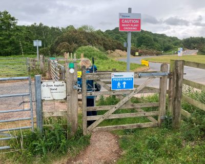
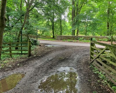
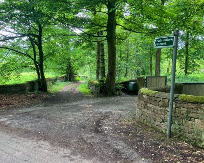
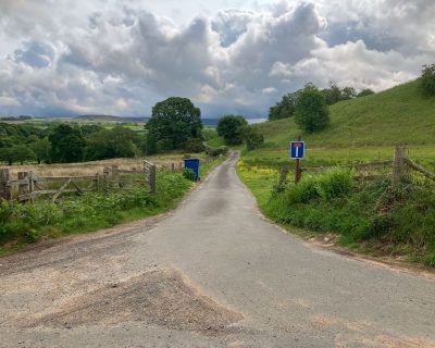
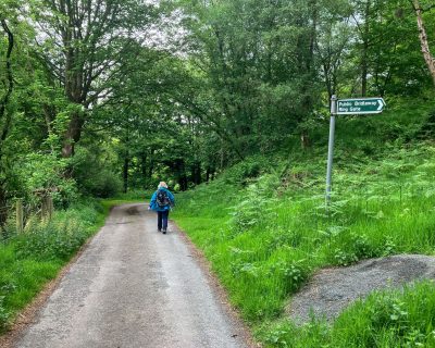
Take a walk in the footsteps of border raiders, with ancient woodland, a railway viaduct, a red sandstone gorge, a Roman quarry and a wild magical river.

Look out for a Roman quarry used for Hadrian's Wall, Middle Gelt viaduct (1835), and Thief Street, an escape route for border raiders. ​

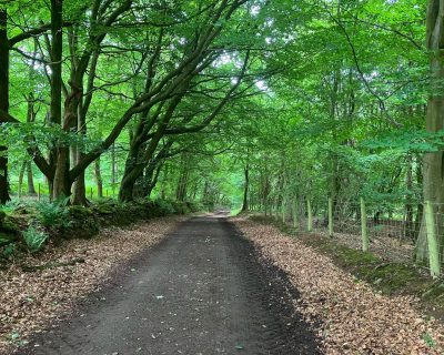
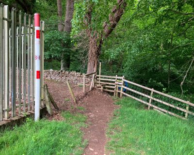
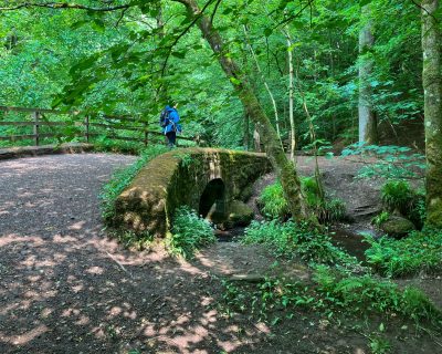
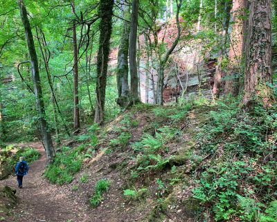
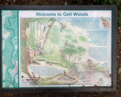
Natural highlights Include Ancient woodland with native trees such as sessile oak, birch, and hazel, as well as wildlife habitats for birds like yellowhammers, buzzards, and redstarts. The area also features geological formations like sandstone cliffs and potholes. Keep an eye out for bird hides designed for watching species like dippers, grey wagtails, and chiffchaffs. Most of the woodland in the vicinity of the River Gelt has been designated a Site of Special Scientific Interest and is an important example of gorge woodland of a type peculiar to northern Cumbria and parts of Scotland.

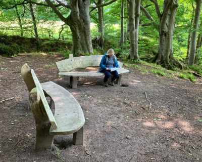
Art and sculptures along the route include Bronze motifs by Pip Hall, an elm sculpture by Keith Barrett, and a Taoist-inspired stone and timber seat by Vivien Mousdell.

Accessibility

Section from Low Gelt Bridge to Greenwell is suitable for All Terrain push chairs and Trampers (Disabled Ramblers) but footpath from Greenwell to Middle Gelt is not suitable - step stile and blocked gate.

Please be aware of livestock whilst walking in the countryside, most cows and sheep on public right of ways are safe but stay alert to the potential risk to you and your walking party, especially with cows and calves (see the link for more info. to stay safe). Keep your dog on a lead around all livestock, even if your dog is especially well-behaved, the poor sheep don’t know this! Especially in lambing time, try to leave the field as calm as you found it. To learn more about walking in the countryside around farm animals please visit: Countryside Walking Tips: Safety Around Livestock at: www.rspcaassured.org.uk/farmed-animal-welfare/other-animal-welfare-concerns/advice-for-walking-in-the-countryside/

Plan Your Visit

///remote.casino.trump
Nearest Bus Stop: Nearest bus stop - on A69. Low Geltbridge Farm NY51855939. Route 685.
Parking: Small car park for 5 cars mapped by OS at Low Gelt bridge. Well used additional roadside parking.

Directions

1
Small car park for 5 cars mapped by OS at Low Gelt bridge. Well used additional roadside parking. Footpath sign and litter bin. Information board on east side of path 20m inside wood passed on return journey.
2
Turn left out of car park , across road bridge and immediately left again following National `Cycle Network route 72. Follow tarmac road, past entrance to quarry, and continue uphill until , just before the brow, turning left along a public footpath (bare earth surface) with wooden fingerpost signed TowTop1.5 miles Townhead 1.5 miles.
3
** Follow path and pass through kissing gate (installed by East Cumbria Countryside Project) and continue along edge of grass field .
4
At a metal and wooden fence bear left to cross the entrance road to a quarry, passing through hand gates on either side of road.
5
Follow well defined/used fenced earth surfaced path keeping quarry ( only intermittently visible) on right.
6
This route joins Thief Street is joined close to a kissing gate (now immovable) and field gate, probably permanently open, at NY52235842.
7
The route now becomes wider, has (very) slight remnants of a metalled surface and is partly bounded on the west (right) by a grown out beech hedge. Watch Hill on the east (left)
8
At the south end of Watch Hill the footpath is crossed by a roughly metalled bridleway running between Townhead and Watch Hill Quarry, Directions on a wooden fingerpost. Cross the bridleway and follow the footpath to Tow Top.
9
At the south side of Priests Wood the route is crossed by another footpath. This is marked by a fingerpost although no destination or finger is given for the path to the east. The path continues, separated from pasture field and farm track on the east by a wire fence. At the end of the field and the beginning of a narrow plantation on the east the path merges into the roughly metalled farm track.
10
Follow the track, now with a pasture field to the west, into Tootop Woods.
11
The track ends at gate and a metalled road. Metal public footpath sign pointing back to Low gelt and another Hayton High Estate sign. Turn left and follow the road for some 100 metres.
12
Turn right at a metal public bridleway sign to Greenwell (with entrance drive to Tow Top on right) and follow the bridleway to a bridge over the Newcastle - Carlisle railway.
13
Pass through a (non bridleway compliant) metal field gate at the south end of the bridge and follow the path along the roughly grassed edge of an arable field.
14
This part of the route ends at a field gate and T-junction onto a metalled road. The finger post pointing back on the route indicates that for 184 yards it has been a public way.
15
Cross the road and follow the metalled lane towards Greenwell.
16
Follow the lane, past a bridleway to Ring Gate and the unusually large silver birch to Greenwell.
17
Just before the settlement of Greenwell a footpath on the left to Middle Gelt Bridge is marked by a metalled sign, low stone wall with a stone stile and field gate.
18
Take the path which with flags and sleepers over the dampest areas runs alongside the river.
19
The path continues through two hand gates, running alongside the river to the gas pipeline enclosure and a wooden stile into woodland close to the railway viaduct by Middle Gelt Bridge.
20
Turn right onto the road, pass under the viaduct, turn right and cross the Middle Gelt road bridge over the River.
21
Then immediately turn left through a (missing) hand gate and metal gate into Gelt Wood. Bench and litter bin at entrance to the wood. Metal public footpath sign - Gelt Woods.
22
The path is muddy but hard underfoot for about 40m at the start of the track which stays close to the river for much of its course. There are various paths leading right (east) off from the main track, but keep to the route closest to the river until the bridge over Hell Beck. The track varies in width and surface condition, in places being narrower and stony or with exposed tree roots.
23
After Hell Gill Bridge the track ascends a short flight of steps, gradually curving slightly away from the river and leading towards Brampton Quarries. Take a sharp right turn and after 5m bear left, just before the quarries to avoid retracing your steps - the line of original path leads to a cliff edge. Vertical cliff faces to the right of the path are the remains of extensive sandstone quarries.
24
At NY52715865 the lower riverside path is currently closed. The in-use track follows the PROW to the east, climbing slightly to a footpath junction at NY527125872. Here there is a footpath marker post and a low level sign with arrows to Middle Gelt and Low Gelt. Turn left towards Low Gelt.
25
Just past the junction is a small clearing with two inscribed wooden benches. One inscribed “Come Pause between River and Fells” the other “Listen to Your Breath...".
26
The path then runs parallel to and with glimpses down to the river to another footpath junction at NY52285906 where there is another wooden bench. The footpath to the west is the closed river side section.
27
Continue north, past a wooden planked causeway to a viewpoint over the river, back to the car park, passing the information board about Gelts wood close to the carpark.