Shap Abbey

A walk through cattle country, with the river Lowther, mysterious earthworks, standing stones, ruins of an Abbey, and spectacular views of the Lake District mountains.
6.2 miles
Moderate
50m
3hrs

Walk Information

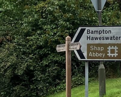
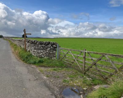
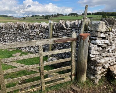
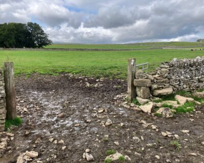
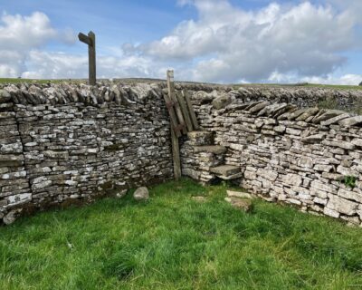
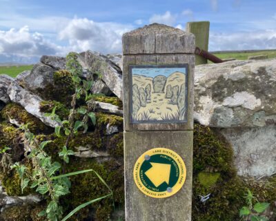
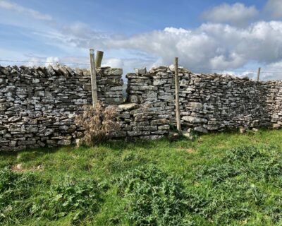
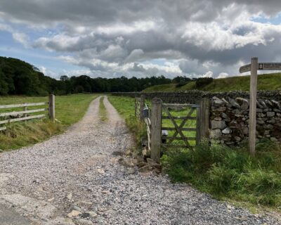
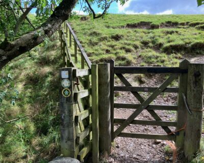
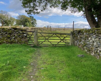
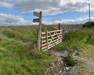
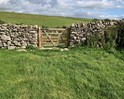
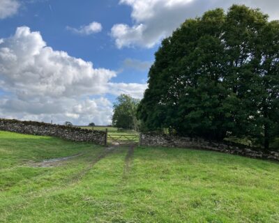
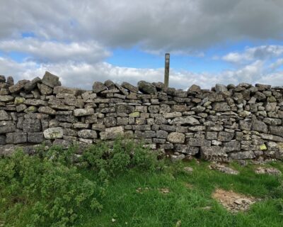
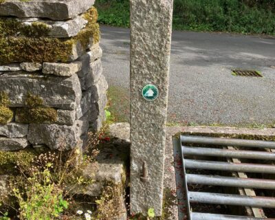
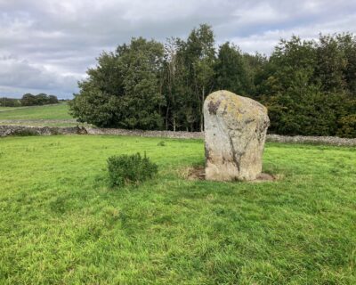
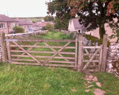
Cross pasture fields, passing near neighbouring communities of Keld and Rosgill on this circular route to Shap Abbey.

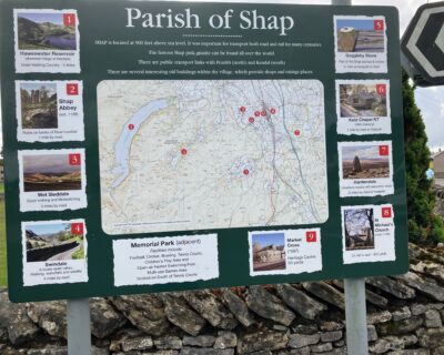
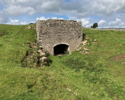
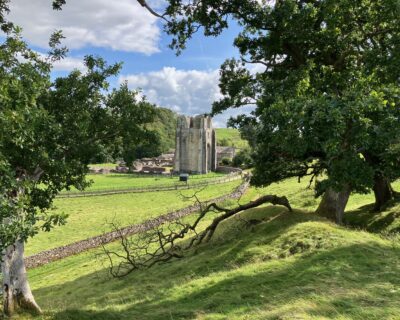
Founded in the late 12th century in a secluded and beautiful valley of the river Lowther, Shap Abbey was one of 32 religious houses in Britain belonging to the Premonstratensian order of canons. Today the impressive 15th century tower and other remains can be explored with the help of information panels that guide you around the abbey and illustrate daily monastic life.

Surface Details

Route following PRoWs mainly across pasture fields with short lengths on tarmaced roads.

Accessibility

Route following PRoWs mainly across pasture fields with short lengths on tarmacked roads. Parts of the route follow the waymarked Coast to Coast Path National Trail. Stiles and other wall crossings are generally in good condition, especially in the National Park.

Please be aware of livestock whilst walking in the countryside, most cows and sheep on public right of ways are safe but stay alert to the potential risk to you and your walking party, especially with cows and calves (see the link for more info. to stay safe).

Keep your dog on a lead around all livestock, even if your dog is especially well-behaved, the poor sheep don’t know this! Especially in lambing time, try to leave the field as calm as you found it.

To learn more about walking in the countryside around farm animals please visit: Countryside Walking Tips: Safety Around Livestock at: www.rspcaassured.org.uk/farmed-animal-welfare/other-animal-welfare-concerns/advice-for-walking-in-the-countryside/

Facilities

Toilets

Shap Hall public toilets at start point

Refreshments

Shap village various options

Plan Your Visit

twinkled.expand.gifted
Nearest Bus Stop: Shap village centre, Market Square. Visit https://www.westmorlandandfurness.gov.uk/buses/service/106
Nearest Train Station: Penrith (North Lakes) 11 miles
Parking: Free car park plus additional free parking on roadside in Shap village centre.

Directions

1
Public car park in centre of Shap at NY56321508 - mouth.prancing.jumps. No parking charge although donations requested. There is a notice board with map in the car park and a public toilet block at the entrance but this is currently closed. Various facilities - shops, public houses, cafe, fish and chip shop in the village.
2
Turn right (north) out of the car park and walk along the A6, pavements on both sides of the road, for about 450m. Turn left along Pow Lane. Coast to Coast footpath sign. Road signposted to Bampton,Haweswater and Shap Abbey.
3
Follow Pow Lane for about 300m. Just past a field barn on the right hand side, turn right through a double wooden gate into a pasture field with a Coast to Coast footpath sign at NY55921557. caressed.awkward.after.
4
Do not follow the Coast to Coast path which roughly parallels the lane but follow the path across the field in a northwesterly direction to a wooden gate in the far corner. There is a footpath marker post, not visible from a distance, just beyond the gate.
5
Pass through the wooden gate and follow in the same direction to a gate opening through a dry stone wall into the next field.
6
Cross field to a stone step stile and finger post in the far corner. Caution - these pasture fields are grazed together and surface undulations mean it is not possible from the wooden gate to see whether there are cattle in the far field. An alternative route avoiding cattle would be to follow the C2C path to road junction at blackmail.decompose.patch and follow road north towards Rosgill.
7
Turn right along the lane for about 50m to a footpath sign and finger post marked Rosgill 1mile. NY55121600 - dented.runways.dressings. The footpath sign is still marked with a bronze plaque showing standing stones.
8
Pass over the step and gate stile (into the Lake District National Park) and continue in a northwesterly direction for about 500m, across a series of rough earthworks, keeping a large field lime kiln on your right,
9
Cross field to a step stile near the field corner, and cross into a narrow field (IMG1888, 1889). An open gateway to the left is a convenient alternative crossing to the step stile.
10
Walk along the narrow field to a squeeze step stile and footpath sign at the far end. (IMG1891, 1890). A break in the wall to the left and an open gateway create a convenient alternative crossing through the wall.
11
Proceed in a northwesterly direction, through a step and gate stile and two step stiles marked with green paint to a small field gate, also marked with green paint and a footpath sign with a plaque depicting an eagle.
12
Continue in the same direction to an open gateway then bear right and head northnorthwest towards a squeeze stile, again marked with green paint, in the field corner and then follow the field wall to a small gate and passage way (pictured - looking back) onto the road in Rossgill.
13
Turn left and walk downhill through the village, across a narrow road bridge over the River Lowther. After another 50m rejoin the Coast to Coast path at the road bend, turning south along a roughly metalled farm track towards Shap Abbey.
14
An information board beside the road describes traditional farming on Rosgill Common.
15
Continue along the track passing through a metal gate or adjacent hand gate then bear left and follow the Coast to Coast path close to a field wall, passing through a step and gate stile and a hand gate to a pack horse bridge, Parish Crag Bridge, over Swindale Beck.
16
The outcrop on the right before the bridge is known as Fairy Crag. There is a bronze plaque depicting fairies on a post beside the bridge.
17
Pass over the bridge, through a handgate and follow the Coast to Coast path up the slope on a short flight of steps with a wooden handrail.
18
Continue across the field towards a small paddock containing the remains of an abandoned farmstead of which only part of a field barn survives as a roofed structure. Pass through the paddock - there is a step stile but most users follow the track - towards a field gate (pictured) and follow the tarmaced lane southwards.
19
After about 150m turn left through a wooden gate at a Coast to Coast footpath sign towards Shap Abbey (IMG1922, 1923) NY53861563, crucially.invent.both.
20
Follow the Coast to Coast path across a reedy pasture through a broken gap in a wall with a ditch on the far side (IMG1925, 1926).
21
Continue in an easterly direction across a small stream and the footings of an abandoned, probably medieval wall to a small fieldgate (pictured).
22
Turn south through the gate and follow the path towards Shap Abbey. The path drops down towards the abbey complex. If visiting the abbey bear right and follow the well defined wall-side path linking the informal car park for visitors to the abbey and the Abbey ruins.
23
After visiting the Abbey retrace your steps towards the car park (the concrete track is a private farm road) and follow the track round towards the bridge over the River Lowther. Where this joins the road to the Abbey follow the Coast to Coast path up a short slope.
24
When the slope reduces in steepness (NY54821537, fearfully.recitals.fruitcake), leave the Coast to Coast path and turn right towards a field gate and step stile above a small woodland.
25
Cross the stile and follow the edge of the woodland towards a wall with a step stile and gate. Cross the stile, not the gate which leads into a different field, and keep in a south easterly direction. Before you reach the end of the field look out for a marker post and step stile through the wall on your left (pictured).
26
Climb over the stile and bear right beside the wall to the wall corner at the end of the field you have just left. Keep straight on for about 80 metres to another wall corner then, with the wall on your left, continue towards Keld, through a field gate. Then, passing beside a house and through a squeeze stile next to a cattle grid onto a tarmac lane (pictured). Turn left along the lane.
27
After about 100m there is a footpath finger post and a stone step stile on the right, partly obscured by vegetation. Cross the stile and bear left, parallel with the lane.
28
Shortly after another step stile, there is a step stile back onto the lane with a finger post showing two paths across the field both leading towards Shap and another post with a bronze plaque with an image of monks. Ignore the path to the right and continue straight on, over another step stile and then a squeeze stile onto a stone surfaced lane (pictured).
29
Cross the lane, using another squeeze stile, and continue beside the wall towards a squeeze stile at the corner of a small plantation. The freestanding monolith in the field, to the right of the path before the plantation, is the Goggleby Stone (pictured).
30
Continue along the path, here fenced off from the woodland, to a step and squeeze stile into a narrow pasture field. Pass through a wooden hand gate, into a short grass- surfaced, stone-walled lane (pictured) which leads onto Back Lane in Shap. Turn left, then right, to the main road and then right again back to the carpark and the start of the walk.