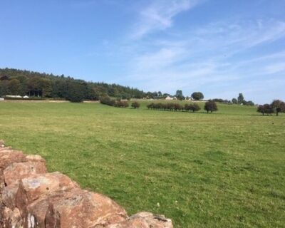
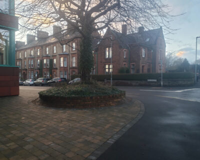
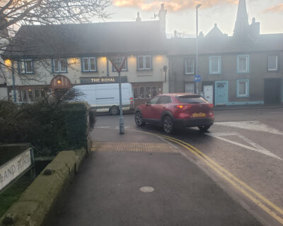
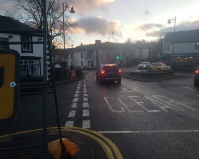
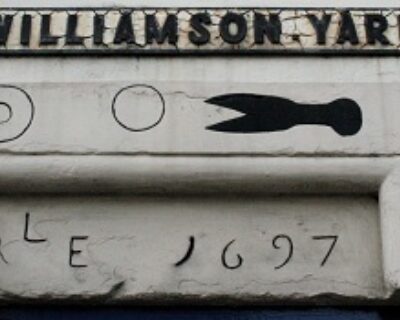
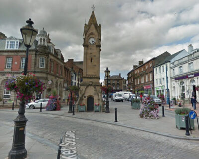
Start this linear walk by exploring Cumbria Wildlife Trust’s Cold Springs nature reserve with far reaching views of Penrith and the Lake District hills beyond. Make your way into town to explore Penrith's historic town centre.
Walk Information
Surface Details
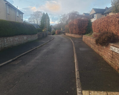
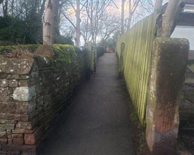
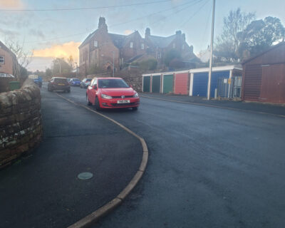
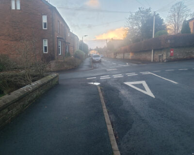
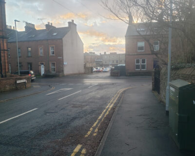
Tarmac pavements following roads and on cut-throughs. (100%)
Accessibility
Please be aware of livestock whilst walking in the countryside, most cows and sheep on public right of ways are safe but stay alert to the potential risk to you and your walking party, especially with cows and calves (see the link for more info. to stay safe). Keep your dog on a lead around all livestock, even if your dog is especially well-behaved, the poor sheep don’t know this! Especially in lambing time, try to leave the field as calm as you found it. To learn more about walking in the countryside around farm animals please visit: Countryside Walking Tips: Safety Around Livestock at: www.rspcaassured.org.uk/farmed-animal-welfare/other-animal-welfare-concerns/advice-for-walking-in-the-countryside/
Facilities
Toilets
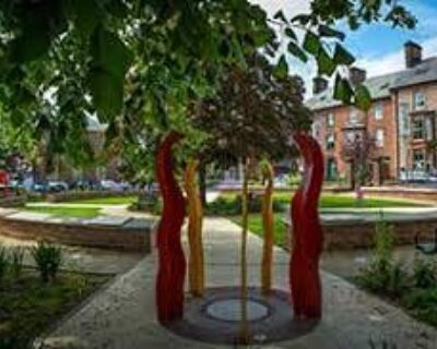
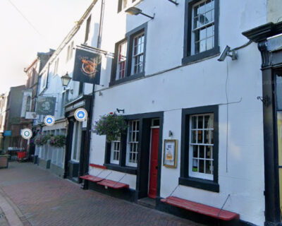
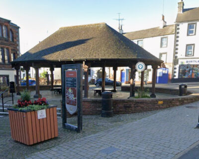
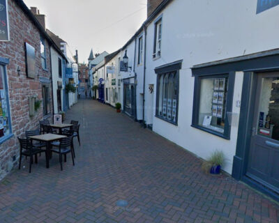
Penrith town centre
Refreshments
Penrith town centre
Plan Your Visit
What3Words/// clubs.lunch.access
Nearest Bus Stop: Fir Bank. Route 646
Nearest Train Station: Penrith
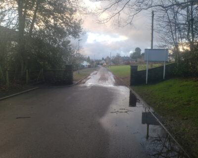
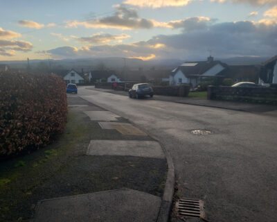
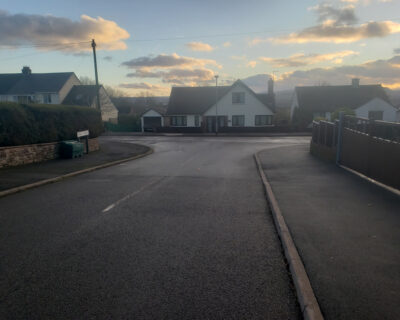
Parking: There is no designated car park; however, there is an informal layby with parking for 4-5 cars on Beacon Edge Road. Please do not park on the residential streets nearby as this may cause disruption to local residents. The community nature reserve is being created for people living in, or close to, Penrith and we ask that, if possible, people travel here on foot or by bike.