Long Meg and her Daughters

A short circular walk near Great Salkeld taking in a druid's circle - Long Meg and her Daughters - and St Michael's Church.
2.4 miles
Easy
0m
2hrs

Walk Information

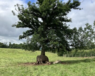
This walk near Great Salkeld takes in a druid’s circle! Dating from the Bronze Age, Long Meg and her Daughters is the name given to a mysterious circle of 69 stones near Little Salkeld on the River Eden. There are the remains of a bank of the western perimeter, which may indicate that it was part of the henge building tradition rather than just being a circle of freestanding stones.

Surface Details

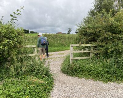
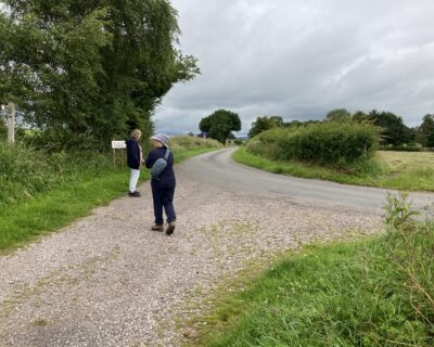
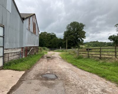
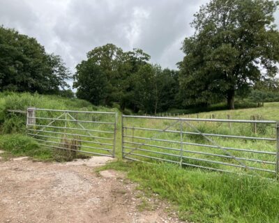
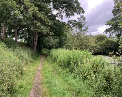
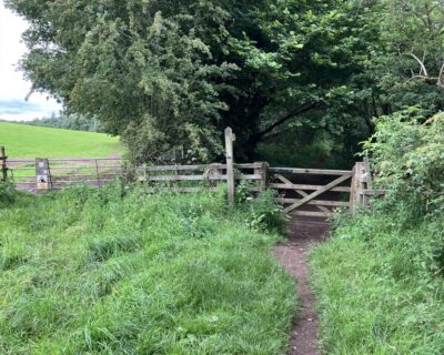
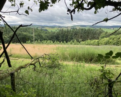
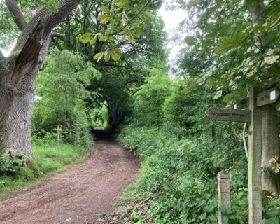
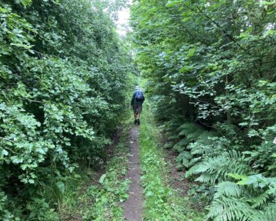
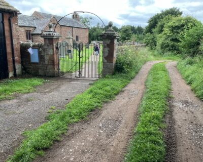
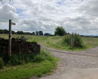
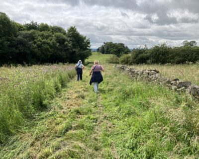
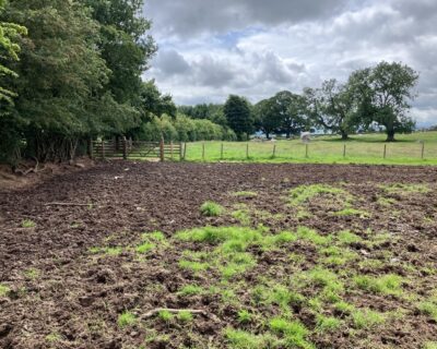
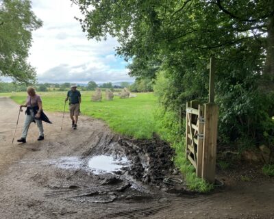
Road, rough track and narrow dirt paths.

Accessibility

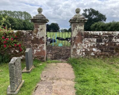
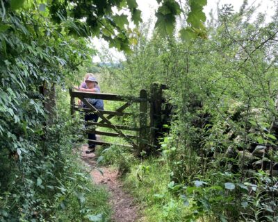
Stiles and gates along the route and rough, muddy and uneven paths in places.

Please be aware of livestock whilst walking in the countryside, most cows and sheep on public right of ways are safe but stay alert to the potential risk to you and your walking party, especially with cows and calves (see the link for more info. to stay safe).

Keep your dog on a lead around all livestock, even if your dog is especially well-behaved, the poor sheep don’t know this! Especially in lambing time, try to leave the field as calm as you found it. To learn more about walking in the countryside around farm animals please visit: Countryside Walking Tips: Safety Around Livestock at: www.rspcaassured.org.uk/farmed-animal-welfare/other-animal-welfare-concerns/advice-for-walking-in-the-countryside/

Plan Your Visit

reworked.observe.layered
Nearest Bus Stop: Little Salkeld, visit https://www.fellrunnerbus.co.uk/timetable.html
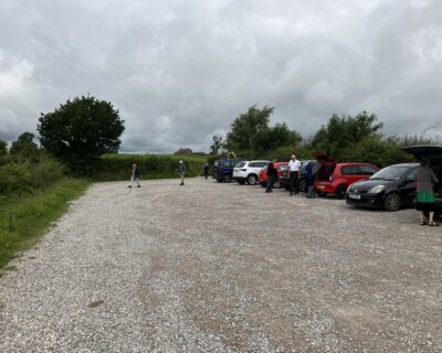
Parking: NY57053677. Large free car park for 20+ cars and a coach on left hand side of a metalled lane leading towards Druids Circle. The car park sign is after the turn into the car park.

Directions

1
NY57053677. W3Words: reworked.observe.layered. Large free car park for 20+cars and a coach on left hand side of a metalled lane leading towards Druids Circle. The car park sign is after the turn into the car park.
2
Exit the car park through a gravelled gap in the car park boundary, close to an information board about Long Meg and Her Daughters, onto a roughly metalled lane.
3
After a few metres this joins the metalled lane later marked Farm Access Only.
4
Proceed north for some 400 metres, through a wooden hand gate beside a cattle grid, until you reach a two level information board with a tactile plan of the stone circle at W3W printing.sound.eggplants. Here there is unmarked verge side disabled parking for 2 vehicles.
5
The roughly metalled farm track passes through the stone circle towards Longmeg Farm and continues past the east side of the farm.
6
Keeping the farm house and farm buildings on your left continue north along the bridleway, through a pair of metal farm gates.
7
Here the surface of the right of way changes, the extent of metalling gradually reducing until the surface becomes predominantly compacted earth, between a farm pond on the right/east and a narrow strip of woodland on the left/west. It continues through a wooden hand gate adjacent to a wooden sign marked “public path” with a mixed plantation woodland on the west.
8
It continues through a wooden hand gate adjacent to a wooden sign marked “public path” with a mixed plantation woodland on the west. The surface of the path then becomes uneven due to traversing a series of mounds from a large badger earth. Some caution is needed here because of holes in the mounds.
9
Poor drainage because of the slightly sunken nature of the lane means that the surface becomes damp and muddy in places. There are extensive views across to the Lake District over the Eden valley to the west but these can be limited by vegetation in summer.
10
The path curves to the east to a T-junction and finger post at NY56923823 W3W fists.shred.refutes. To the north the path continues towards Daleraven Bridge but to return to Long Meg via St Michaels Church it is necessary to follow the roughly metalled right hand track in an easterly direction.
11
Continue straight along this, ignoring two farm tracks diverging on the right at NY57193827 W3W host.take.lightens and another crossing the lane at NY233829 after which the lane becomes less used by farm traffic.
12
After about 500 metres you reach the walled graveyard of St Michaels Church. At the end of the graveyard is a wooden fingerpost on the left labelled Public Way and Public Bridleway - Long Meg 1 mile. Enter the stone walled graveyard through a pair of ornamental metal gates flanked by stone pillars with round finials at NY56453834 W3W fermented.premises.cabinets.
13
Follow the stone paved path which skirts the west end of the church and continues through the graveyard to a matching pair of pillars and a metal hand gate. The graveyard is selectively mown to encourage wild flowers. The public right of way, now a bridleway, continues in a straight line across the pasture field to a metal fieldgate opening on to the lane leading towards Maughanby Farm.
14
Cross the lane and continue through a field opening past a wooden finger post marked Public Bridleway Long Meg 3/4 mile. The farm track continues through a metal fieldgate into a partly tree planted pasture but the right of way continues in a southerly direction along a 2m wide strip beside the dry stone field wall.
15
Bear slightly right and continue in a south-south-west direction through a wooden hand gate into a fenced path between woodland and a pasture field. Continue along this path through another wooden hand gate which is now redundant as trees have been planted in the field to the east.
16
At NY 57403765 the fenced section ends at another wooden handgate but the path continues alongside a stone wall in the same direction across rough pasture.
17
At a metal field gate on the parish boundary at NY57303752, secured by a latch and a chain, the route opens out into a pasture field with occasional trees, one close to the path showing fine burring at the base of the trunk.
18
Cross the field in a south-south-west direction towards Long Meg and a wooden fieldgate in the south corner of the field, noting the extensive views over the stone circle towards the Lake District.
19
Skirt the edge of the stone circle until rejoining the lane leading towards Longmeg Farm beside a finger post pointing back the way you have come indicating the bridleway towards Glassonby.
20
Continue back along the lane towards the car park, noting en route the views across to the Howgill Fells.